Welcome to Halton Histories
Welcome to the history of Halton. Here you will find ll sections of the History module, including the towns Industrial history, the geography of the town and the cultural impact nationwide and beyond.
You can also find links to all the various websites used in the production of this module as well as links to the various sites visited.
Contents
Runcorn
Widnes
Geography
Industry
Culture
Inhabitation in Runcorn and the surrounding area has been recorded as far back as the Stone Age.
A stone axe, recovered in Clifton, show human inhabitation in Runcorn could have begun at any time from 900,000 too 7000 year ago. Although inhabitation was likely minor like much of Britain.
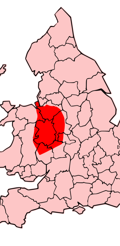
Before the Roman Invasion Britain was controlled by various tribes. The area around Runcorn was in the territory of the Cornovii tribe whise territory covered much of central Western England (see map on right)
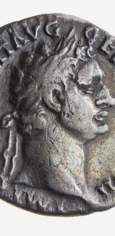
The Romans gradually gained control of the island of Britain. While there is no evidence of a settlement at Runcorn it will almost certainly have been used as a crossing of the river and a small settlement would have exsisted. Roman coins depicting the Emperor Domitian were found at the site of the Railway Bridge (Coin pictured far left)
Anglo-Saxon
The name Runcorn began with the Anglo-Saxons, The name Rumcofan come from the Old English or Anglo Saxon word ‘rúm’ meaning wide or broad and ‘cofa’ meaning ‘cove’.the original name meaning ‘a wide cove or bay’, referring to the estuary beyond the Runcorn Gap.
From Rumcofan, the name transformed to Rumcoven, Ronchestorn, Runckhorne, Runcorne and finally Runcorn.
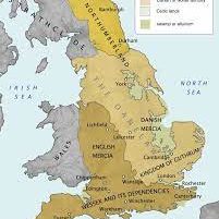
Runcorn sat on the Southernmost border of the land conquered by teh "Great Heathen Army".
The Great Heathen Army was an invading force of Vikings who eventually would occupy and gover a large area of England as depicted right.
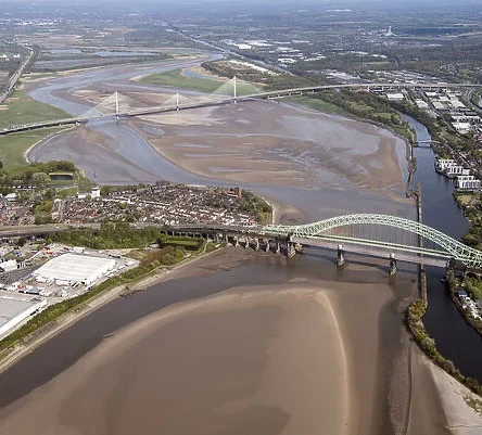
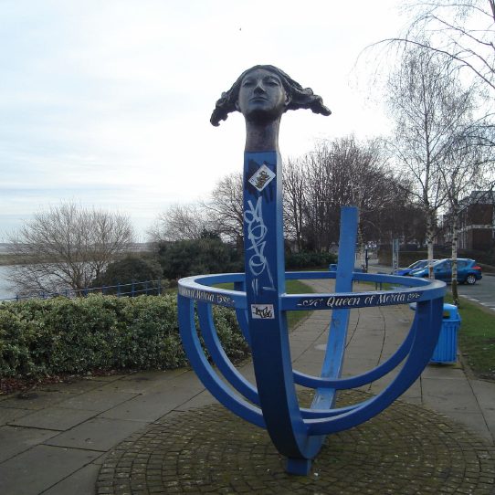
The soutern border of Danelaw was the Mersey, Runcorn was in the province of Mercia, the Queen of the Mercians Ethelfleda had a border fort built at the Runcorn Gap on a outcrop called castle rock, which is now under a supporting column of the railway bridge. Ethelfleda is commemerated in Runcorn with a sculpture close to where the fort was located (Statue pictured left on the promenade close to the bridge)
Medieval
After the settlement of Runcorn by Æthelflæd, the town grew slowly. In fact for much of the following centuries Halton was the major settlement in the region. Following the Norman Conquest in 1066, William the Conqueror, ordered the first census on England in the Doomsday Book of 1086. Runcorn was not mentioned but William personally granted the Earldom of Chester to his nephew Hugh d’Avranches, who in turn granted the barony of Halton to Nigel, Baron of Halton.
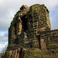
It was Nigel who built another fortification and formed the first true castle atop Halton Hill. The first Halton Castle was a motte-and-bailey castle. Meaning it was built of stone of wood atop a hill. The first Halton Castle still, in part, stand, which means it was built with stone, which was fairly uncommon. However, the first castle, the one we see today, was built to defend the Baron, who was regarded by the locals a foreign invader and conqueror of their land.
After the Norman Invasion, England stabilised, and Runcorn became an important and unusual religious site. because it was dedicated to both St Mary and St Bertelin
First William Fitznigel, the son of Nigel, founded the Augustinian Priory at Runcorn, the priory was later moved to Norton, and raised to a higher status, becoming an abbey.
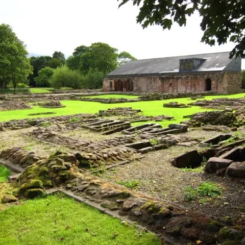
In 1536, during the reign of Henry VIII, the monastery at Norton was dissolved, during Henry VIII’s ‘Dissolution of Monasteries’, which was signed into law in order to both weaken the Catholic Church in England and empower Henry’s allies and his new born church of England.
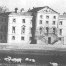
Sir Richard Brooke bought the lands nine years later and converted part of the abbey into a house (engraving above)
English Civil War
Part of the reason for the condition of the castle today dates back to the English Civil war.
While, during the War Runcorn, and more importantly the easily defended Halton Castle, was held for the Royalists, by John Savage, the 2nd Earl Rivers, it fell twice to siege.
Despite the fact that the Castle eventually fell twice, both times it was because of starvation rather than conquest.
Because the Halton Castle had put up such staunch resistance,both times for over a year, it was decided at the end of the English Civil War that the easily defended castle should be ‘slighted’. Meaning a major part of the castle should be destroyed.
Pre-Industrial Revolution
Before the Industrial Revolution of the Victorian Period, Runcorn was regarded as a ‘spa town’.The fast flowing waters of the River Mersey delivered clean waters from the height of the Pennines, and mixed with nutrient rich waters of the Irish Sea, which is itself fed by the powerful Atlantic and Arctic Oceans, as well as the stormy and bountiful North Sea.
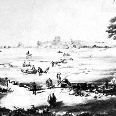
The rich river sediment mixed with the deeply fertile and fruitful soil made the incredibly rural Runcorn an attractive holiday destination for well to do Victorians Runcorn at the time was separated on three sides by rivers, with no access bar the single ferry funning to Widnes, the picture depicts the ferry in the 1700's, and miles upon miles of forested wilderness, the remains of the pre-historic forests of Mara and Modrem
Industrial Revolution
The expansion of the Bridgewater canal to meet the River Mersey at Runcorn kickstarted the Industrial expansion of Runcorn, though still subordinate to Halton the town began to grow with the establishment of a dock with linjs to the port of Liverpool.
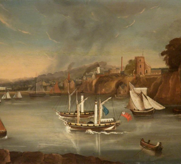
The devloping port can be seen in this painting (left), showing the view from the castle rock looking toward whatb is now Astmoor at around 1830
During the 1800’s access to Runcorn had improved dramatically with the introduction of multiple canals. such as the Bridgewater and Trent and Mersey. These canals connected Runcorn to most of internal England, and formed the basis of the port of Runcorn.
With the building of multiple canals, linking Runcorn to interior England, most importantly the massive industrial city of Manchester,and Runcorn’s natural closeness and links to Liverpool, the second city of the British Empire, Runcorn became quickly embroiled in the rapid advancement of the Industrial Revolution.
All kinds of industries sprang up in Runcorn. Shipbuilding, engineering, chemical manufacturing, tanning and sandstone quarrying.
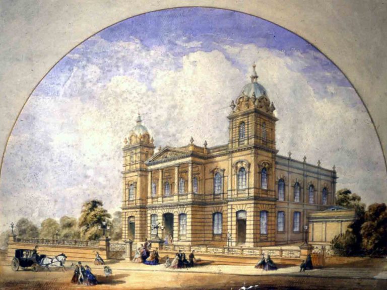
The new money pouring into the town meant that several new landmarks sprung up. Halton Grange, St Paul’s Methodist Chapel (left) and All Saints’ Church for instance.
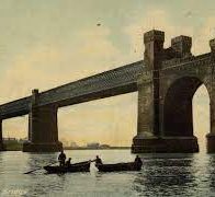
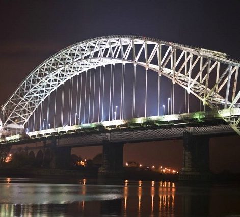
Unfortunately, due to the rapid industrial expansion in Runcorn, the pollution which signified the Industrial Age settled upon Runcorn. The River Mersey became one of the most polluted waterways in the world as Runcorn became dominated by the chemical and tanning industries. Runcorn, which had for thousand of years been mostly isolated,suddenly found itself connected not just to the rest of England, but to the whole of the British Empire. The Manchester Ship Canal, the Port of Runcorn, the railway bridge (above) and the transporter bridge.
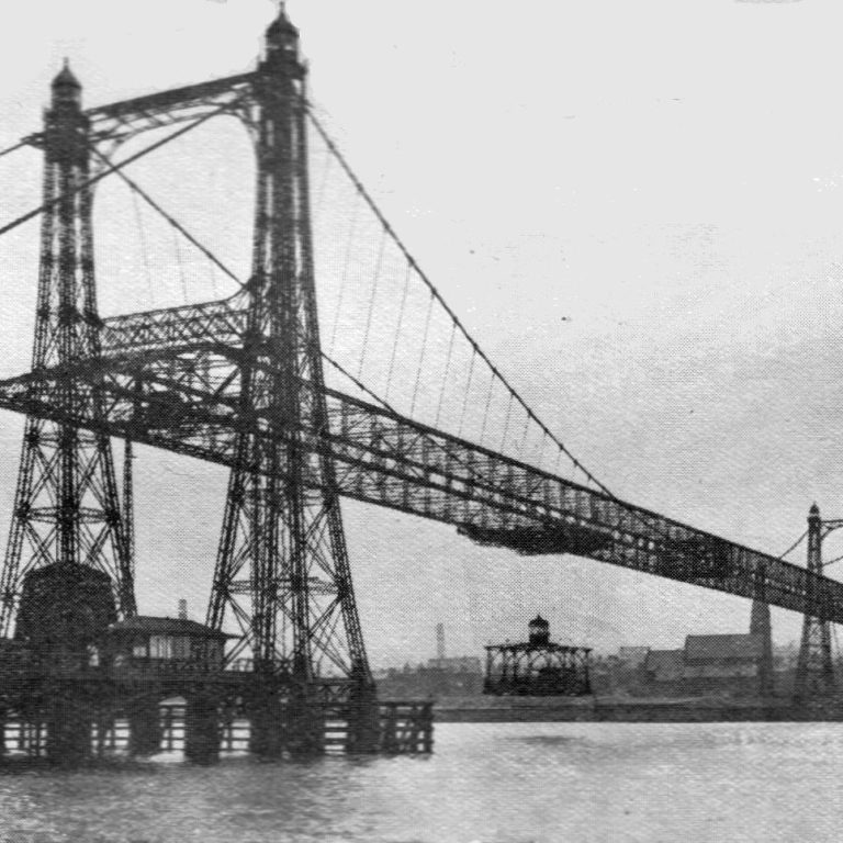
Transporter Bridge built in 1905

the ICI at Weston Point
The New Town
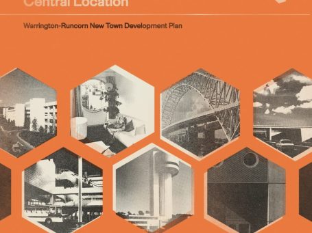
In 1946, Runcorn was one of the many small towns chosen in England to become a ‘New Town’. Their purpose was to lessen the pressure on the inner city slums, particularly those cities bombed during the war, which now could not be repaired in a timely fashion
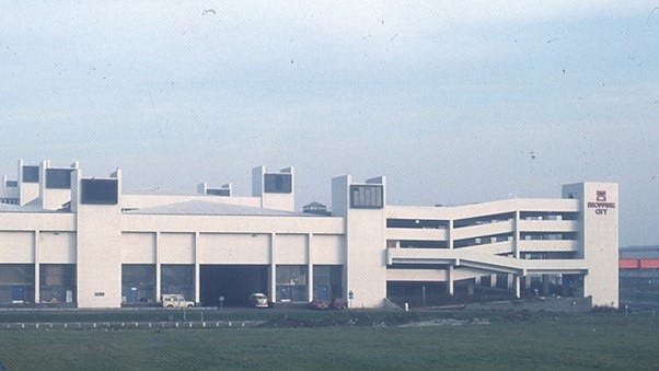
Runcorn was officially designated a New Town in 1963 Building began in 1966 while the first residents moved into their homes in 1967 The first estate people moved onto was Halton Brook

The vast majority of the people moving into the new town orginated in Liverpool, although a small number came from Manchester. The sudden influx of "Immigrants" to the town and the loss of vast tracts of farmland led to tensions between original residents and the newcomers.. It was also fuelled by the perceived lack of interest in the locals by the authorities.


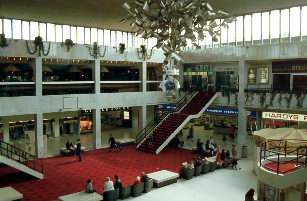
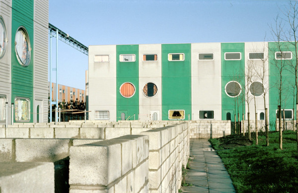
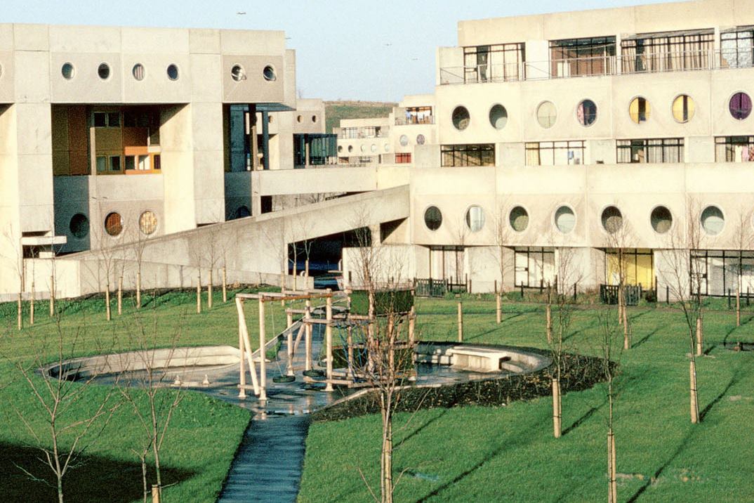
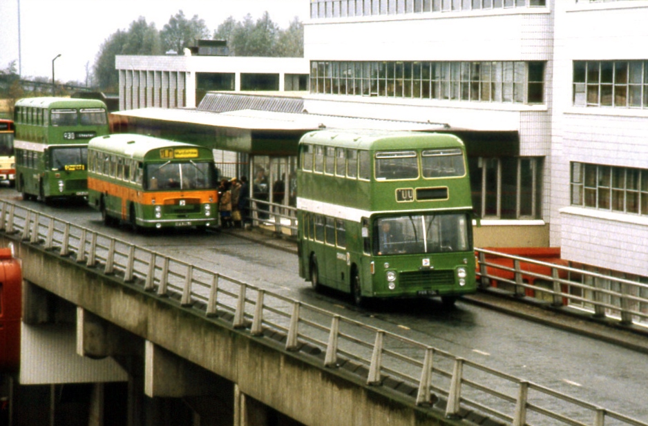
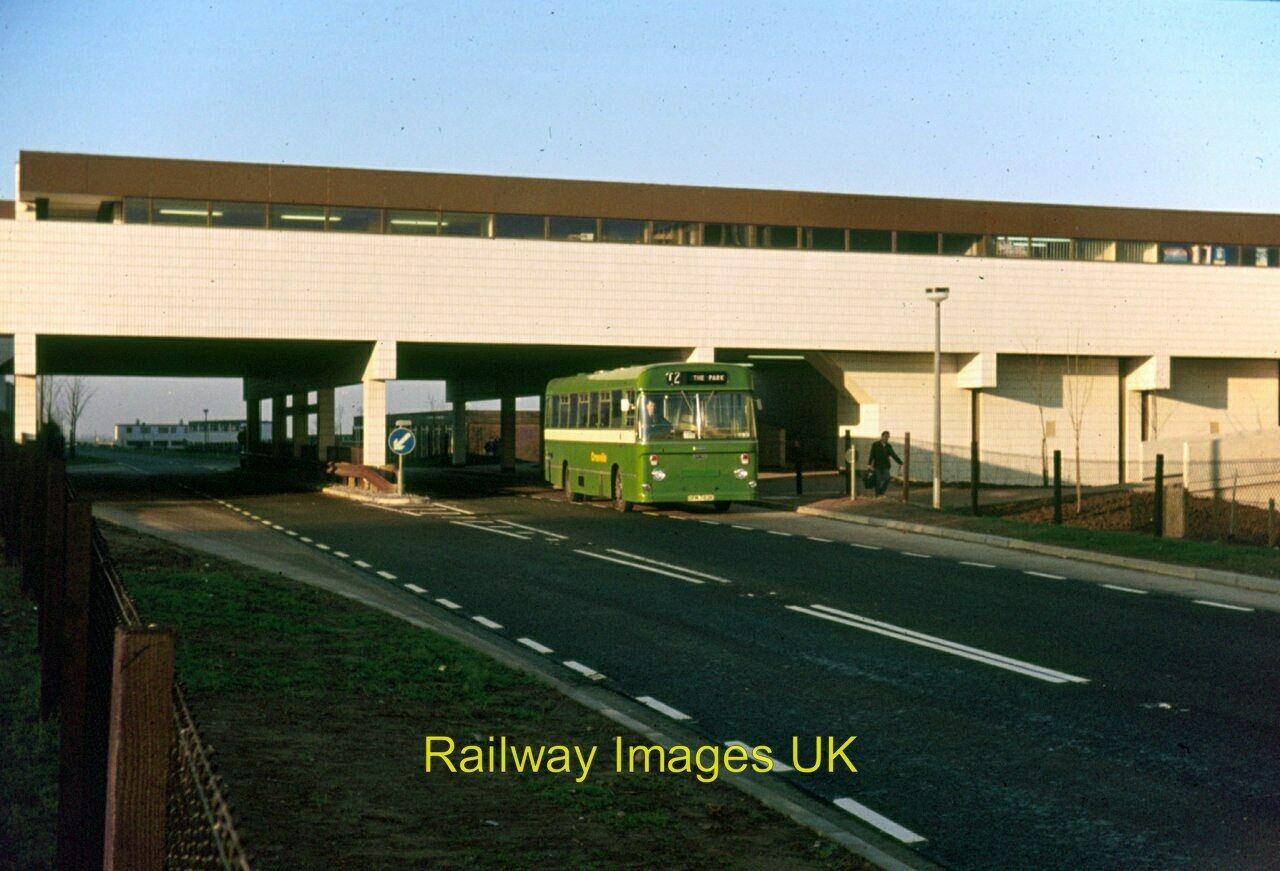
The plan called for 10 new estates, Halton Brook, Castlefields,The Brow, Palacefields, Halton Lodge, Beechwood, Southgate, Brookvale, Murdishaw and Windmill Hill. All the estates were to surround a cantral shopping area and be connected by a dedicated bus route known as the busway.
The estates were designed to be individual communities all had a pub, primary school, local shopping area and primary school. Two estates had specific people in mind when designed. Halton Brook was a family estate, designed so people would not have to cross any roads to get to the shops, school etc. and Southgate was intended originally for professional people The "Yuppies" of the day, Teachers, Doctors and other professionals.
https://www.geni.com/people/Yarfrid-de-Widness-Baron-of-Widnes/6000000003949736224
http://www.penninewaterways.co.uk/sankey/sa2.htm
https://en.wikipedia.org/wiki/Brigantia_%28ancient_region%29 The Brigate tribe
https://www.runcornhistsoc.org.uk/ethelfleda/runcorn_2.html Ethelfleda statue
https://kids.kiddle.co/Halton_Castle
https://historicengland.org.uk/listing/the-list/list-entry/1015606
http://disused-stations.org.uk/e/ethelfleda_bridge/index.shtml
https://www.britainfromabove.org.uk/image/epr000595
https://harmonious-entrepreneurship.org/professor-kirby-home-case-study-here/
https://www.nortonpriory.org/
https://confidentials.com/manchester/homeward-bound-paul-simon-widnes-station-myth-or-reality
https://www.alamy.com/stock-photo/runcorn-england.html?sortBy=rel
https://www.britainfromabove.org.uk/search?keywords=runcorn&country=global&year=all
https://www.flickr.com/search/?text=runcorn
https://www.ribapix.com/search?adv=false&cid=0&mid=0&vid=0&q=runcorn&sid=false&isc=true&orderBy=0&pagenumber=4
https://www.istockphoto.com/photos/runcorn
Powered by N&PW in association with Open360
We need your consent to load the translations
We use a third-party service to translate the website content that may collect data about your activity. Please review the details and accept the service to view the translations.